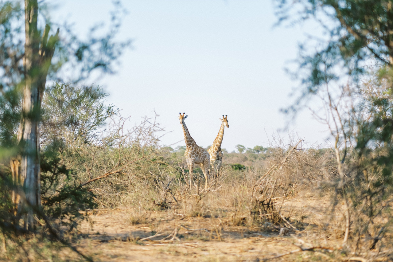
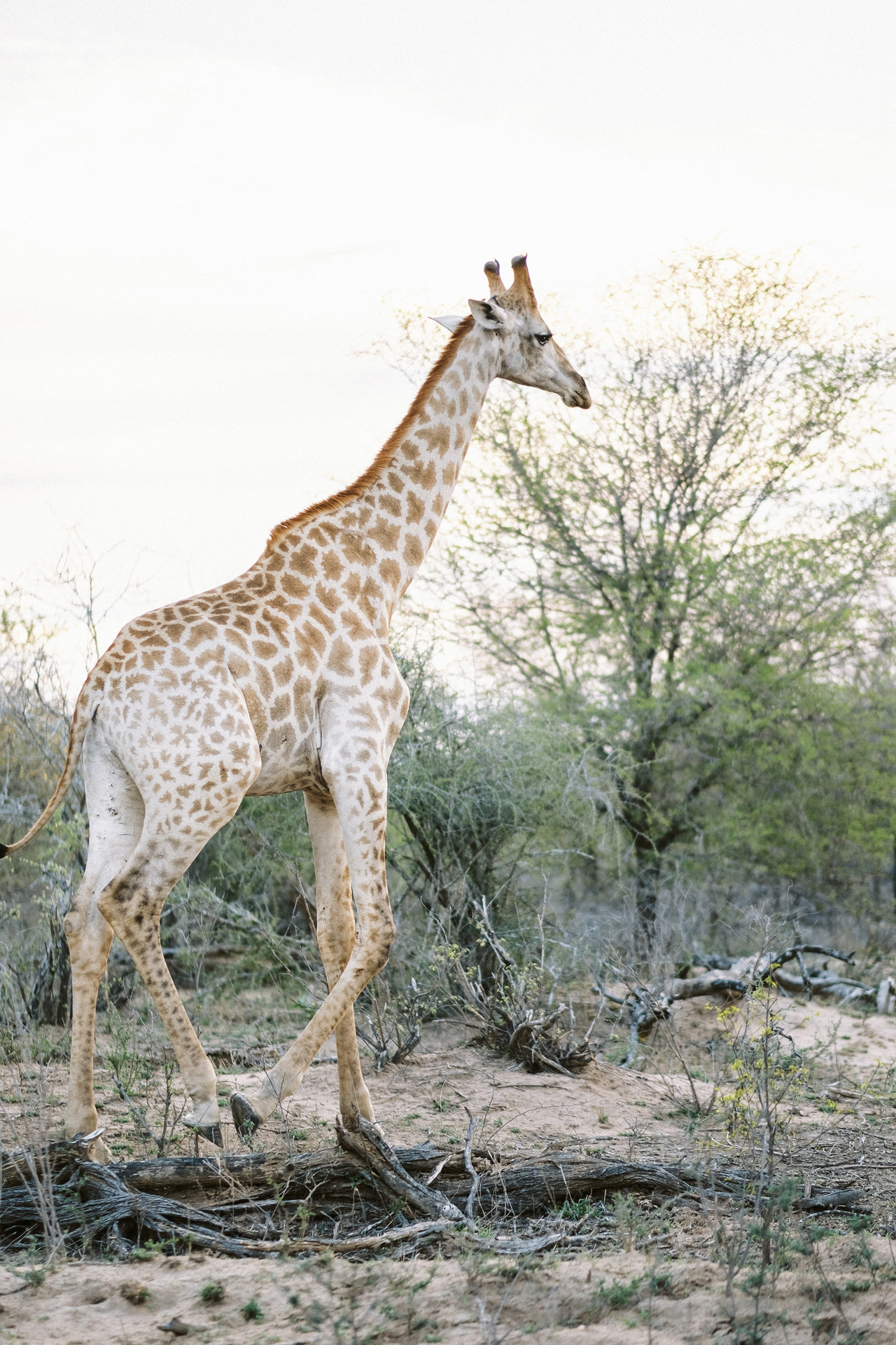
Travel to South Africa might not a fancy thing to do for south east Asian people. But we’ve been travel around the globe for some times, and we always visited big & metropolis cities. This year we decided to changes it, and try to see something difference; The Nature! That’s why a “Safari in South Africa” become the first thing that pop up in our list. Imagine, exploring an incredible sights of boarderless savannah teeming with wildlife, the Lions!
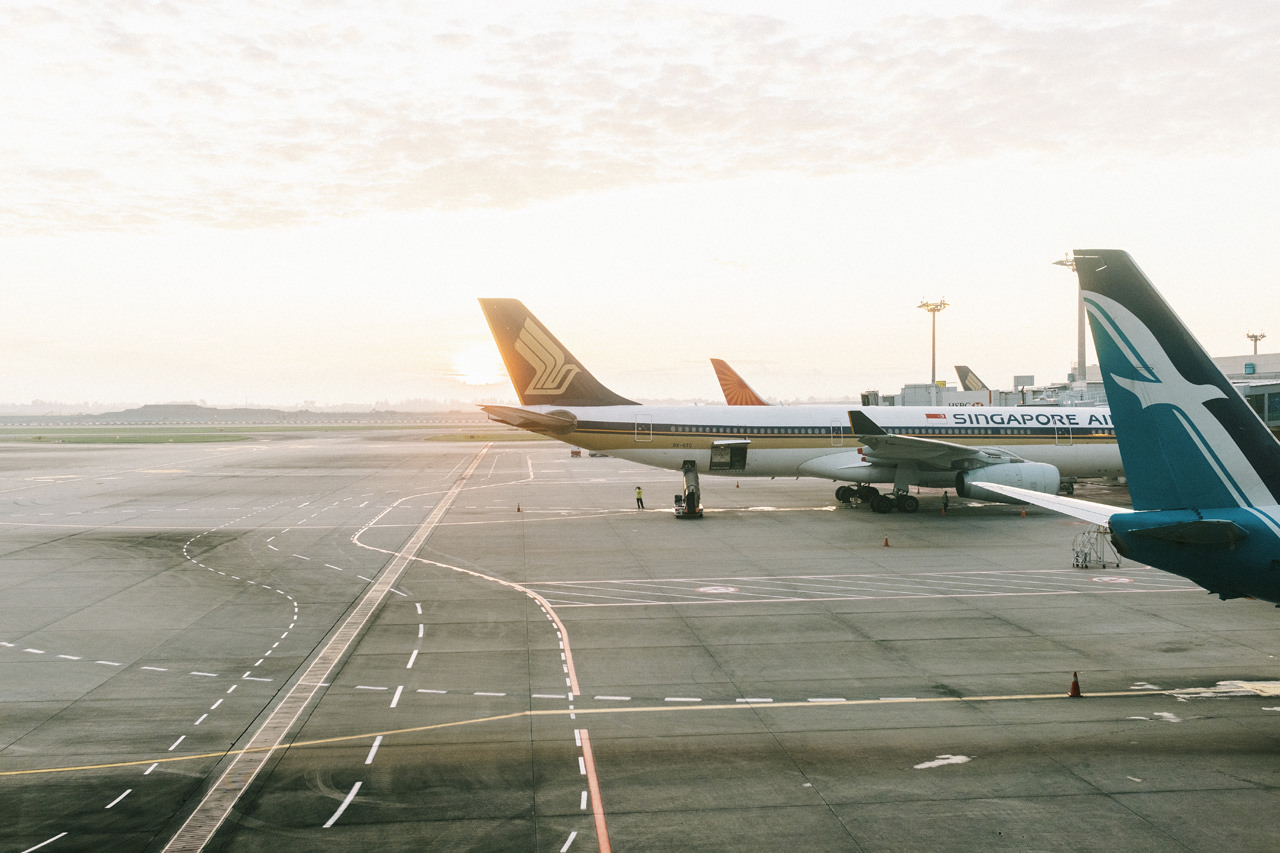
So let’s pack the bag, and fly 9.686 kilometers to the south west. We took Singapore Airlines from Bali-Singapore- Johannesburg, and it took about 13 hours total flight.
Johannesburg
Commonly known as Jo’burg or Jozi, this rapidly changing city is the vibrant heart of South Africa. It’s South Africa’s biggest city and capital of Gauteng province. Its sprawling Soweto township was once home to Nelson Mandela and Desmond Tutu. Johannesburg is situated on the Highveld, the broad, grassy plateau that sweeps across the South African interior. Aside from a few small streams and artificial lakes, Johannesburg lacks water. The city owes its location to the presence of an even more precious resource: gold. Most of the gold mines in the city ceased operation in the 1970s, but in its day the Witwatersrand gold industry accounted for more than 40 percent of the world’s annual gold production.
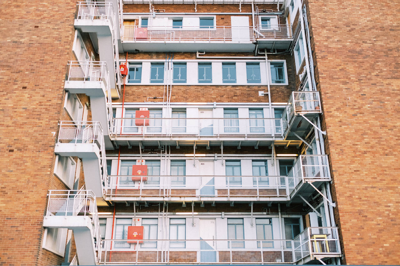
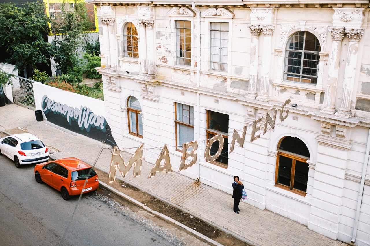
Central Johannesburg, the commercial and financial heart of South Africa, is laid out in a rectangular grid pattern that is unchanged from the first city survey in 1886. Streets are narrow and cast into shadow by high-rise concrete blocks, creating an almost tunnellike effect. Architecturally, the city is a hodgepodge, reflecting decades of rapid growth and a singular indifference to historic preservation. Its centre is smartening up and new loft apartments and office developments are being constructed at a rapid pace. The hipster-friendly neighbourhood of Maboneng is considered one of the most successful urban-renewal projects in the world. However, the wealth divide remains stark, and crime and poverty haven’t been eliminated.
Johannesburg has a temperate climate. Summertime temperatures average about 24 °C; winter temperatures average about 13 °C and only occasionally dip below freezing. The city enjoys about eight hours of sunlight per day in both winter and summer. Rainfall averages about 700 millimetres per annum, but the total varies considerably from year to year. Droughts are common. What rain the city receives falls almost exclusively in the summer months, often in spectacular late-afternoon electrical storms. Air pollution poses a significant problem, especially in the winter months, when thermal inversions impede the westward flow of air from the Indian Ocean.
Long drive to Kruger National Park
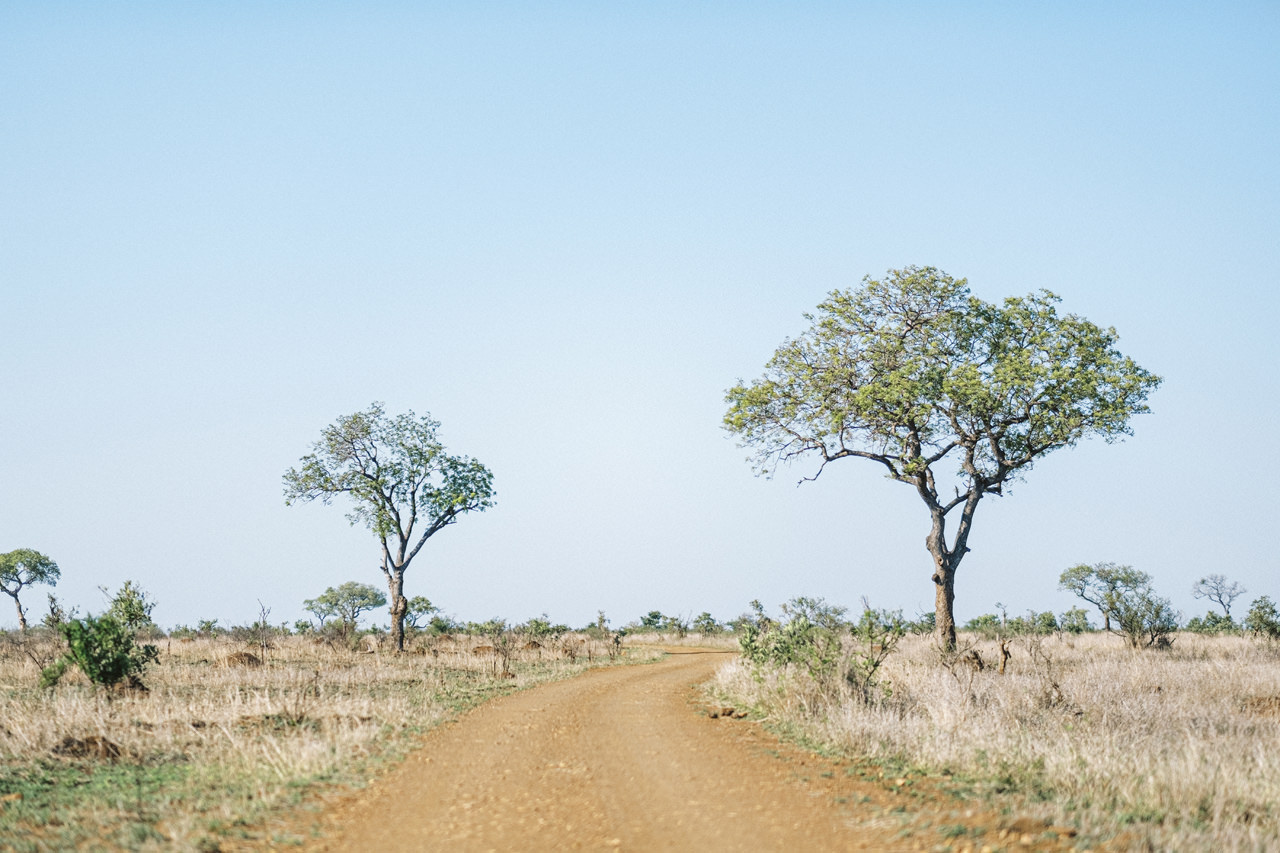
We spend a night in city centre of Johannesburg. On the next day we rent a car and start our wildlife journey by driving 390 km away to Kruger National Park. It’s not widely known that an overland journey to Kruger National Park from Johannesburg as the crow flies holds as much beauty and excitement as the world-famous safari destination itself. Heading eastwards into Mpumalanga, the ‘land of the rising sun’, the jacaranda trees and gleaming highrises of Johannesburg are replaced by glorious, undulating expanses that rise to the lip of the Great Escarpment. It’s here, upon the sharp transition of this dramatic, geological marvel, that the Panorama Route begins.
Kruger National Park
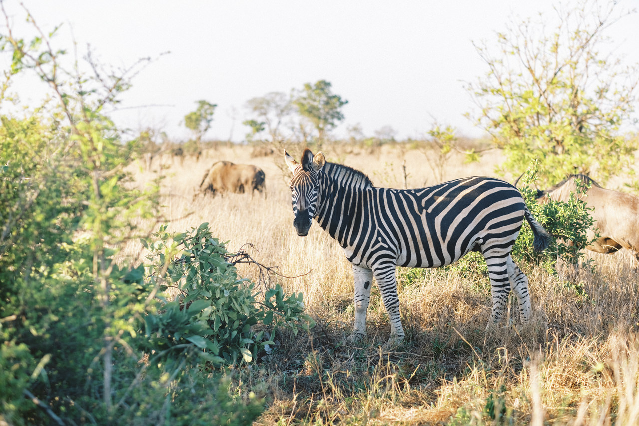
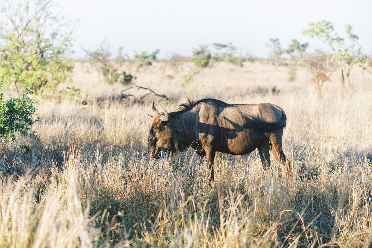
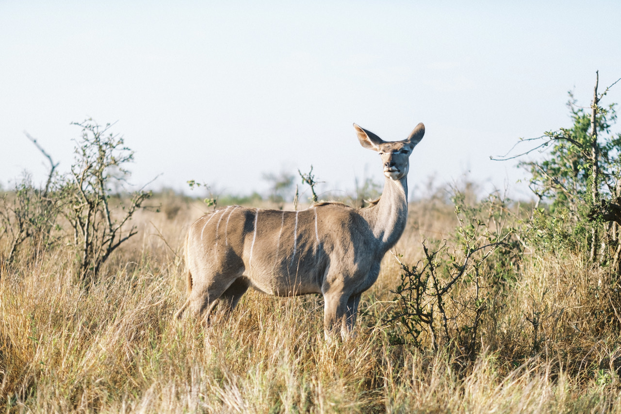
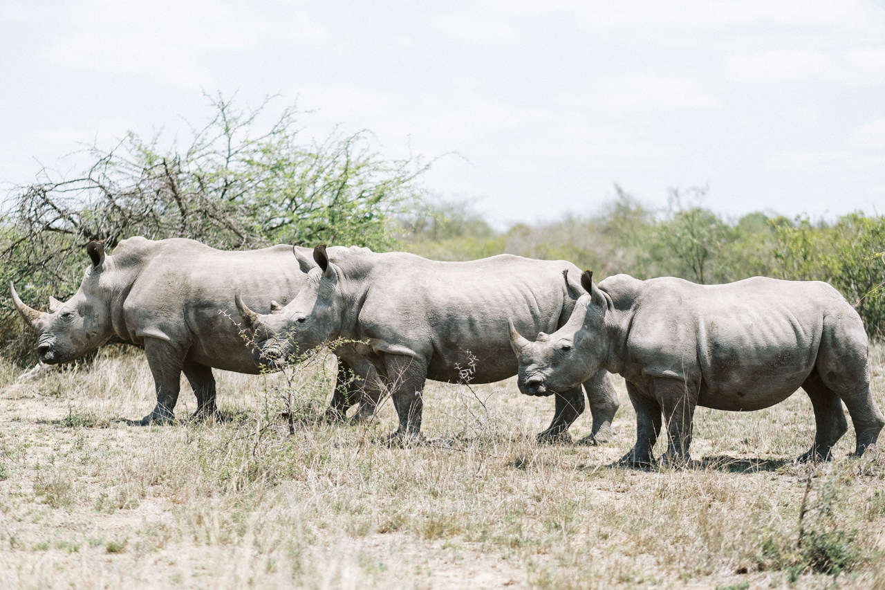
Kruger National Park, in northeastern South Africa, is one of Africa’s largest game reserves. Its high density of wild animals includes the Big 5: lions, leopards, rhinos, elephants and buffalos. Hundreds of other mammals make their home here, as do diverse bird species such as vultures, eagles and storks. Mountains, bush plains and tropical forests are all part of the landscape.
To the west and south of the Kruger National Park are the two South African provinces of Limpopo and Mpumalanga, respectively. To the north is Zimbabwe, and to the east is Mozambique. It is now part of the Great Limpopo Transfrontier Park, a peace park that links Kruger National Park with the Gonarezhou National Park in Zimbabwe, and with the Limpopo National Park in Mozambique.
The park is part of the Kruger to Canyons Biosphere, an area designated by the United Nations Educational, Scientific and Cultural Organization (UNESCO) as an International Man and Biosphere Reserve. The park has nine main gates allowing entrance to the different camps. Kruger National Park contains twelve main rest camps, as well as several smaller camps scattered throughout the park. There are also several concessions licensed to private companies with their own camps. The main camps in the park are larger camps containing shops, restaurants or cafeterias, petrol stations and first aid stations. The largest camp, which also serves as the headquarters for Kruger, is Skukuza.
Skukuza
Skukuza is the biggest camp in Kruger, as it also contains the administrative headquarters for the park. It is located on the southern bank of the Sabie River 12 km Paul Kruger Gate and 39 km from Phabeni gate. In addition to accommodations, Skukuza contains a conference centre and is a short drive from Skukuza Airport, the only commercial airport in the park.
Berg-en-Dal
Berg-en-Dal is one of the most accessible camps in Kruger. It is 12 km from Malelane Gate, which is an hour drive from Nelspruit via the N4. The camp contains 69 bungalows which sleep 2-3, 23 family cottages with multiple bedrooms that sleep 4-6, 2 guest houses, and 72 camping or caravan sites. Running along much of the boundary of the camp is the Rhino Trail, a walking trail which takes about an hour to complete. The camp also contains several overlooks and a swimming pool.
Malelane
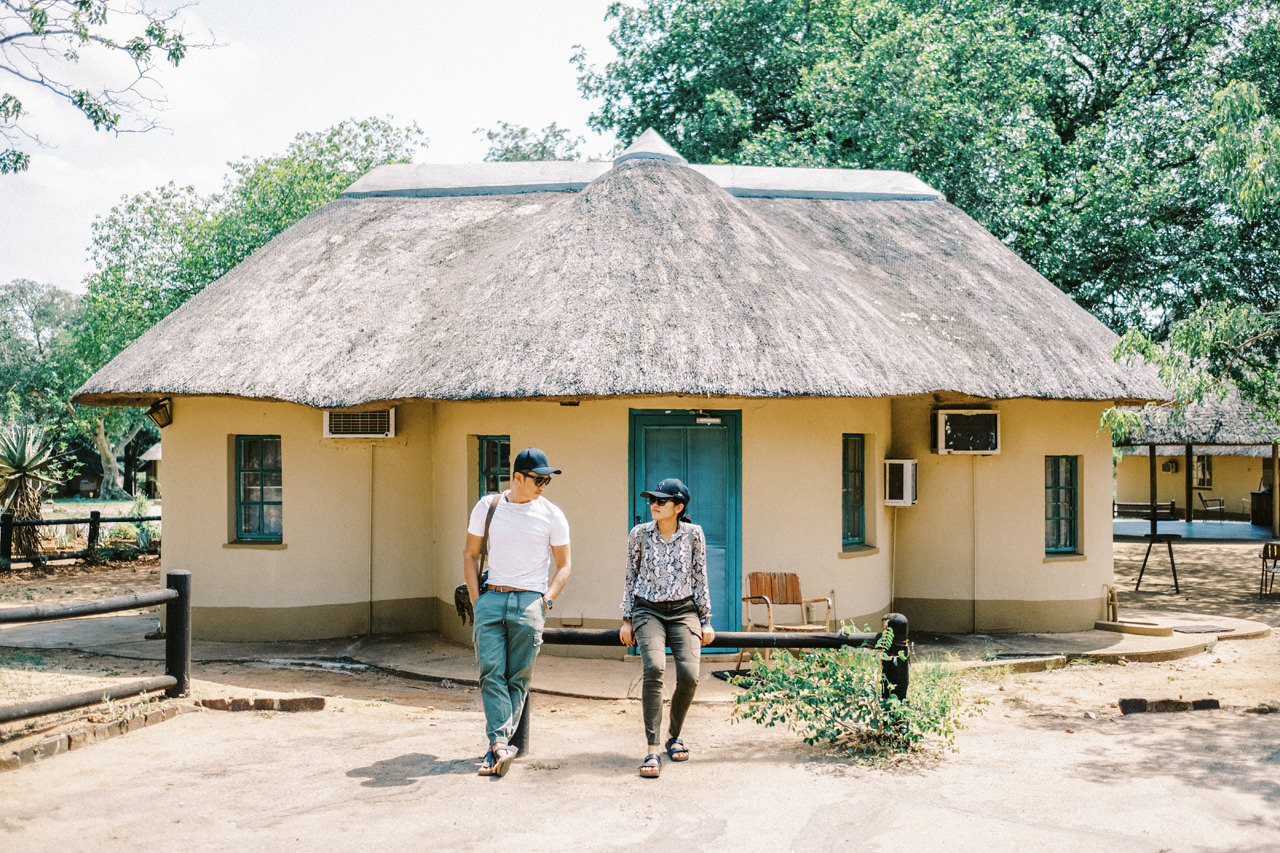
Near Berg-en-Dal and the Malelane gate is the small Malelane satellite camp. Featuring 15 tent sites, 4 four-bed rondavels and 1 three-bed rondavel, Malelane only provides one activity of game drives. Check-in is handled through Malelane Gate.
Crocodile Bridge
Crocodile Bridge is directly along the southern border of the park near the town of Komatipoort. It is smaller than the other main camps, and as such doesn’t have a separate restaurant. The camp also has easy access to the Mozambican border just on the other side of Komatipoort.
Letaba
Letaba rest camp overlooks a bend in the Letaba River, very close to the geographic centre of the park. Its accommodations include 86 rondavels, 20 furnished tents, 10 six-bed cottages, 5 three-bed huts with communal ablutions, 60 tent or caravan sites, and two large guest houses, the Melville and the Fish Eagle. The Fish Eagle guest house also contains a private bird hide. Letaba also hosts the Elephant Hall, a small museum dedicated to elephants, especially the Magnificent Seven.
Lower Sabie
Lower Sabie lies about 45 km downstream of Skukuza on the south bank of the Sabie River. It is situated near one of the three bridges to cross the Sabie river in the park (both of the others being near Skukuza). Because of its location, it has large amounts of water, flat plains, and hills easily accessible from the camp.
Mopani
Mopani sits on the north bank of Pioneer Dam, just south of the Tropic of Capricorn and 50 km north of Letaba. Mopani is also the administrative location of the Shipandani sleep-over bird hide, a hide which can be booked for overnight stays for 2-6 people.
For more information about permit, requirement & camp booking, please visit: HERE
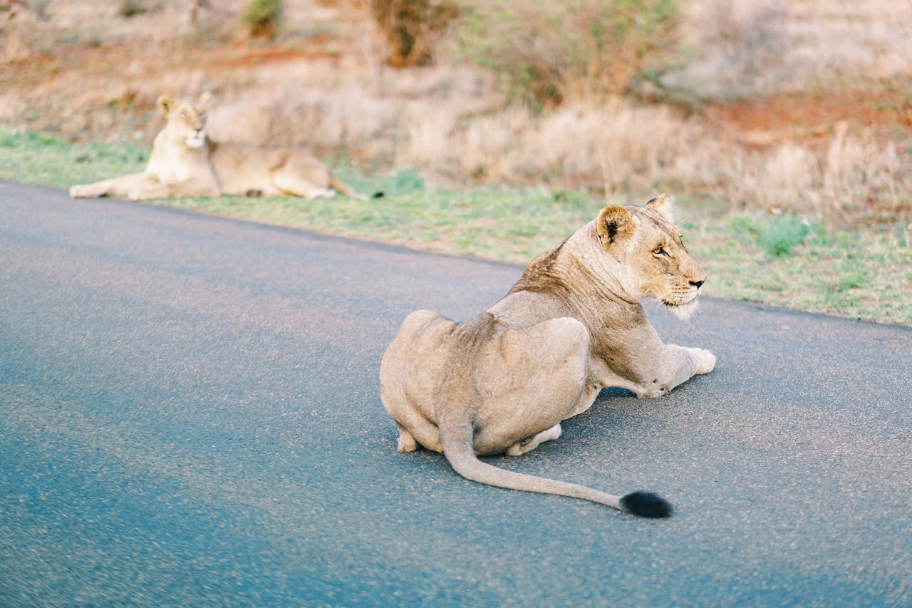
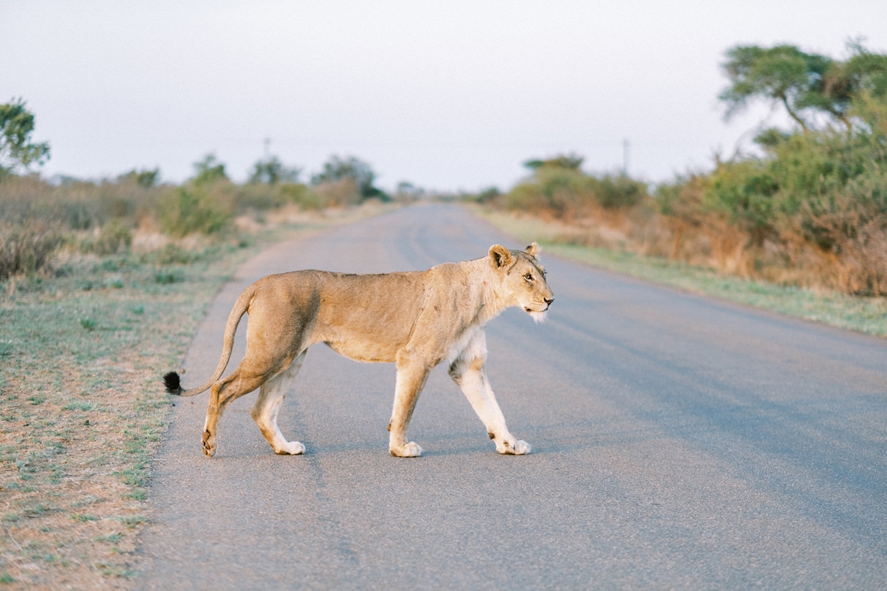
Close Encounter with The Lions
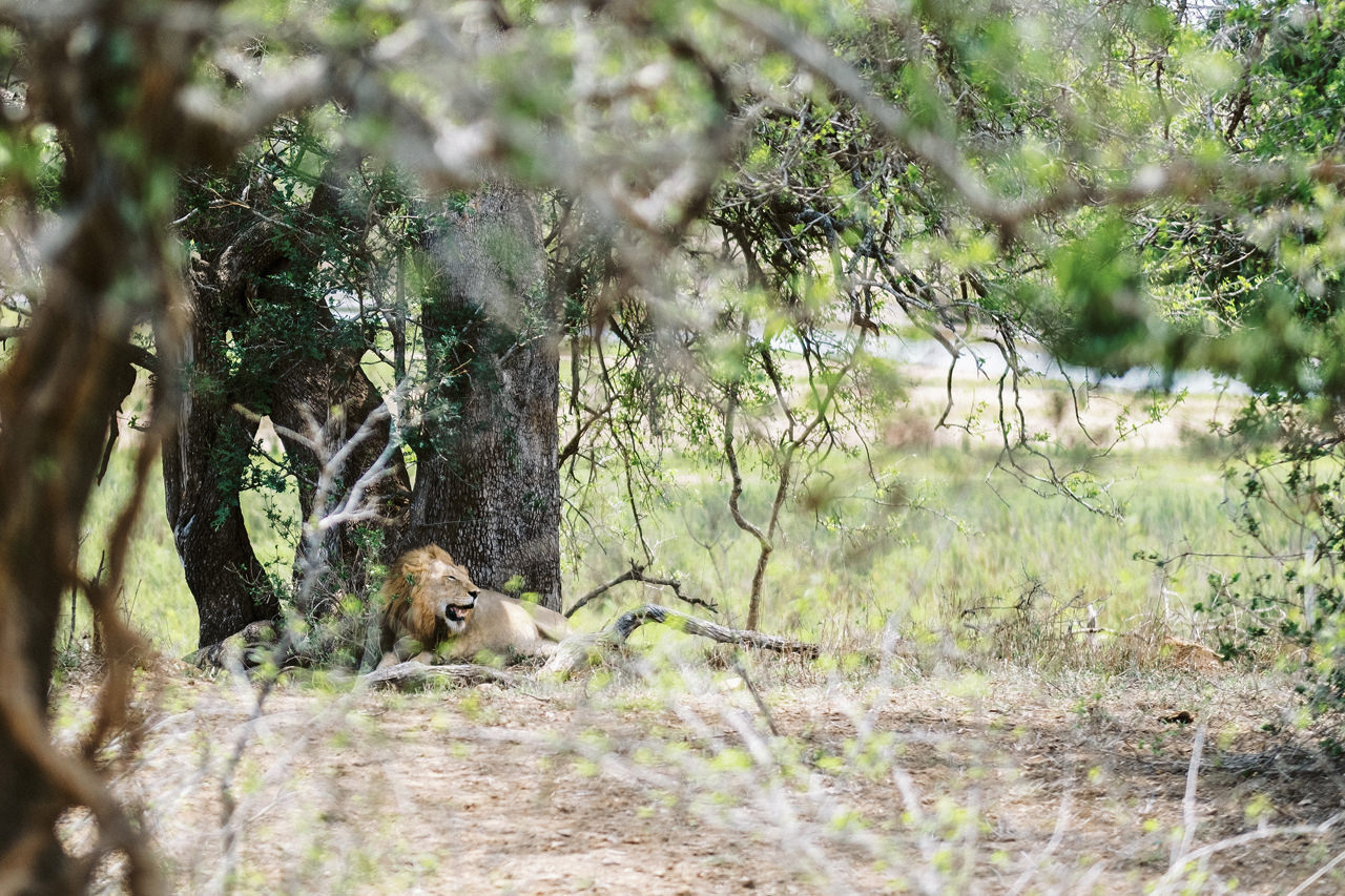
It is estimated that there are currently 1,600 lions in the Kruger National Park, give or take 225 animals, and they are nearly all in tiptop condition. This is the result of a lion population survey carried out during the winter months of 2005 and 2006. The survey is the first to study the park’s entire lion population, as previous lion counts had targeted only certain areas of Kruger. Despite of the big numbers on paper, it’s really challenging to meet this beauty. The pack will move around the park everyday, so we have to drive around few days until we finally meet them in the beautiful morning drive. It’s like playing hide and seek in area of 19,485 km2.
Cape Town
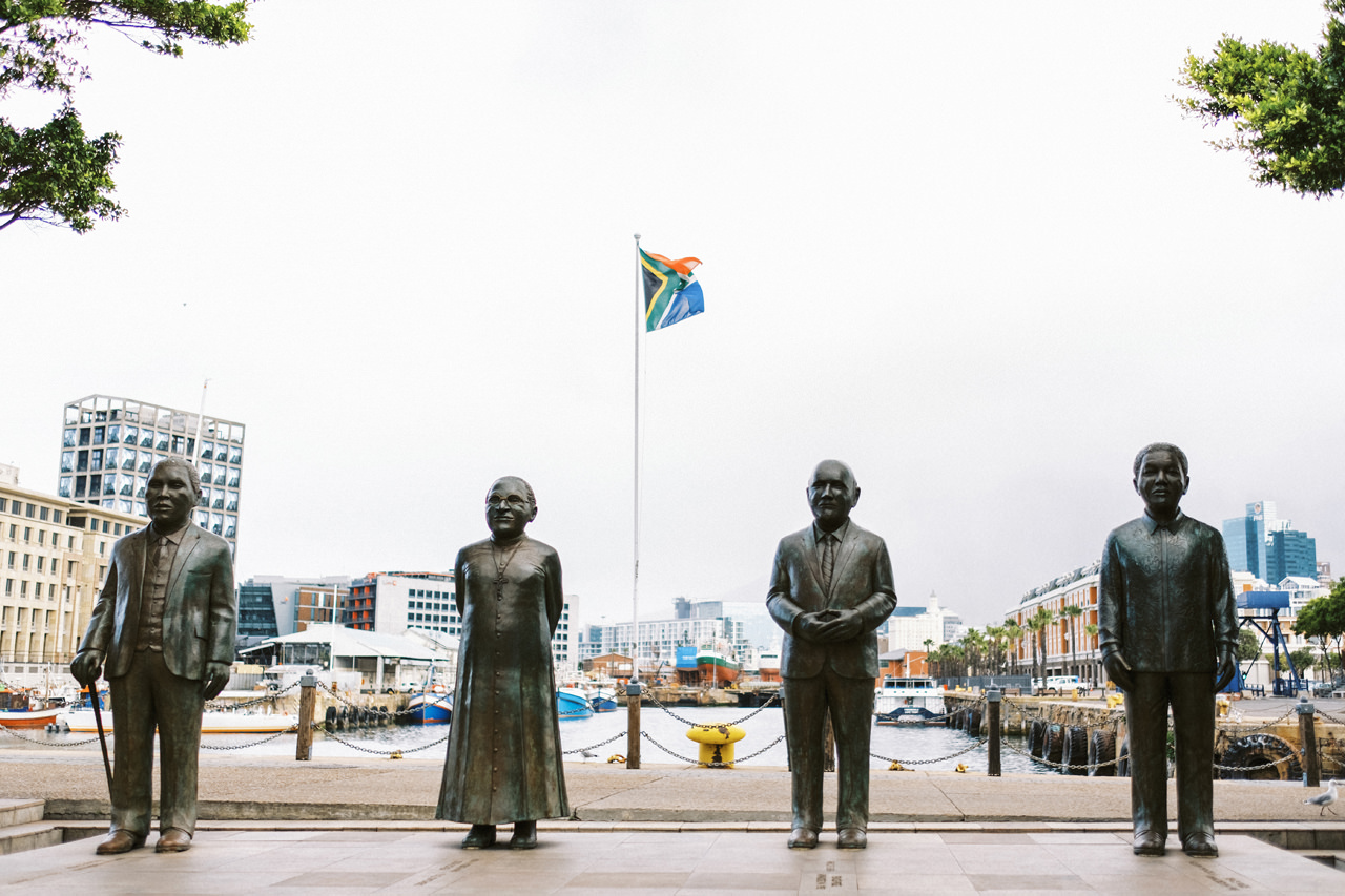
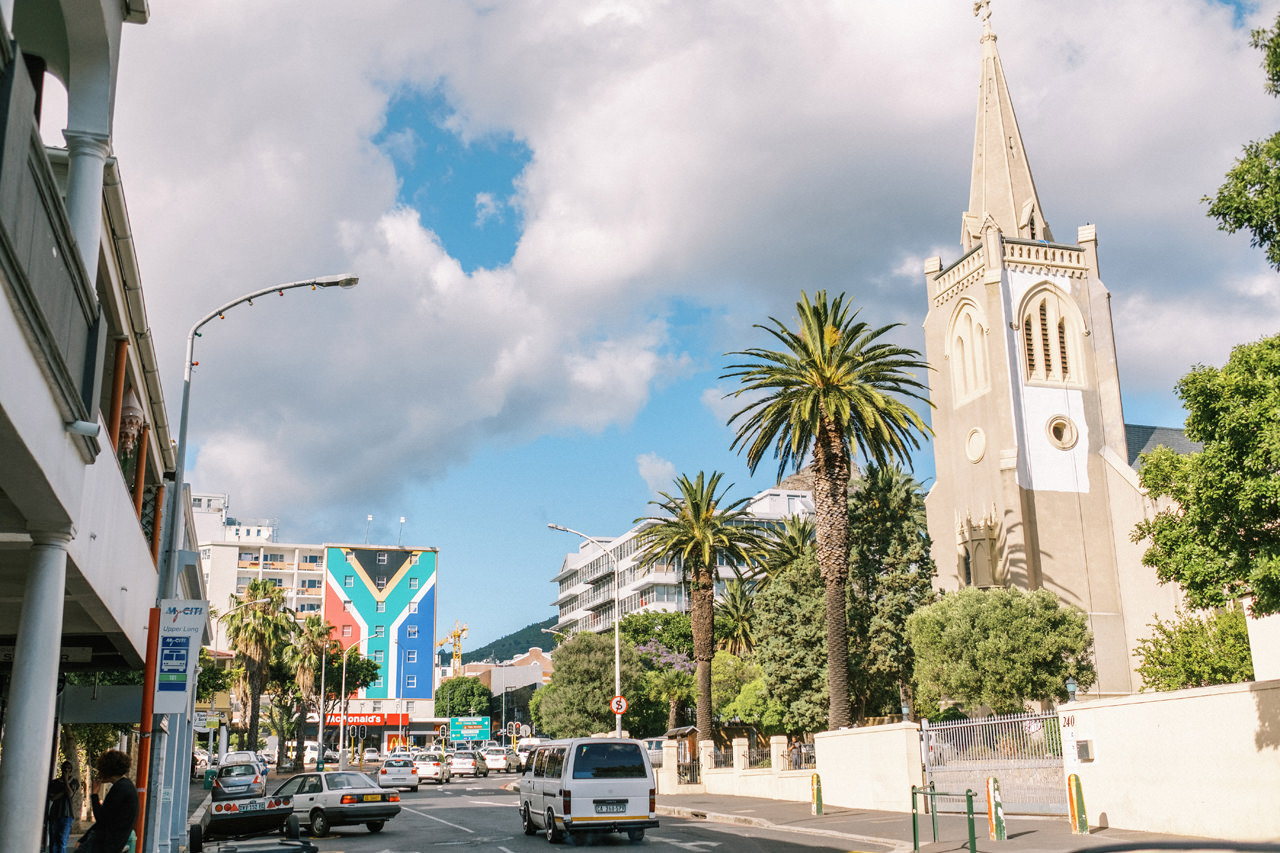
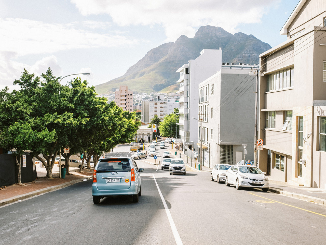
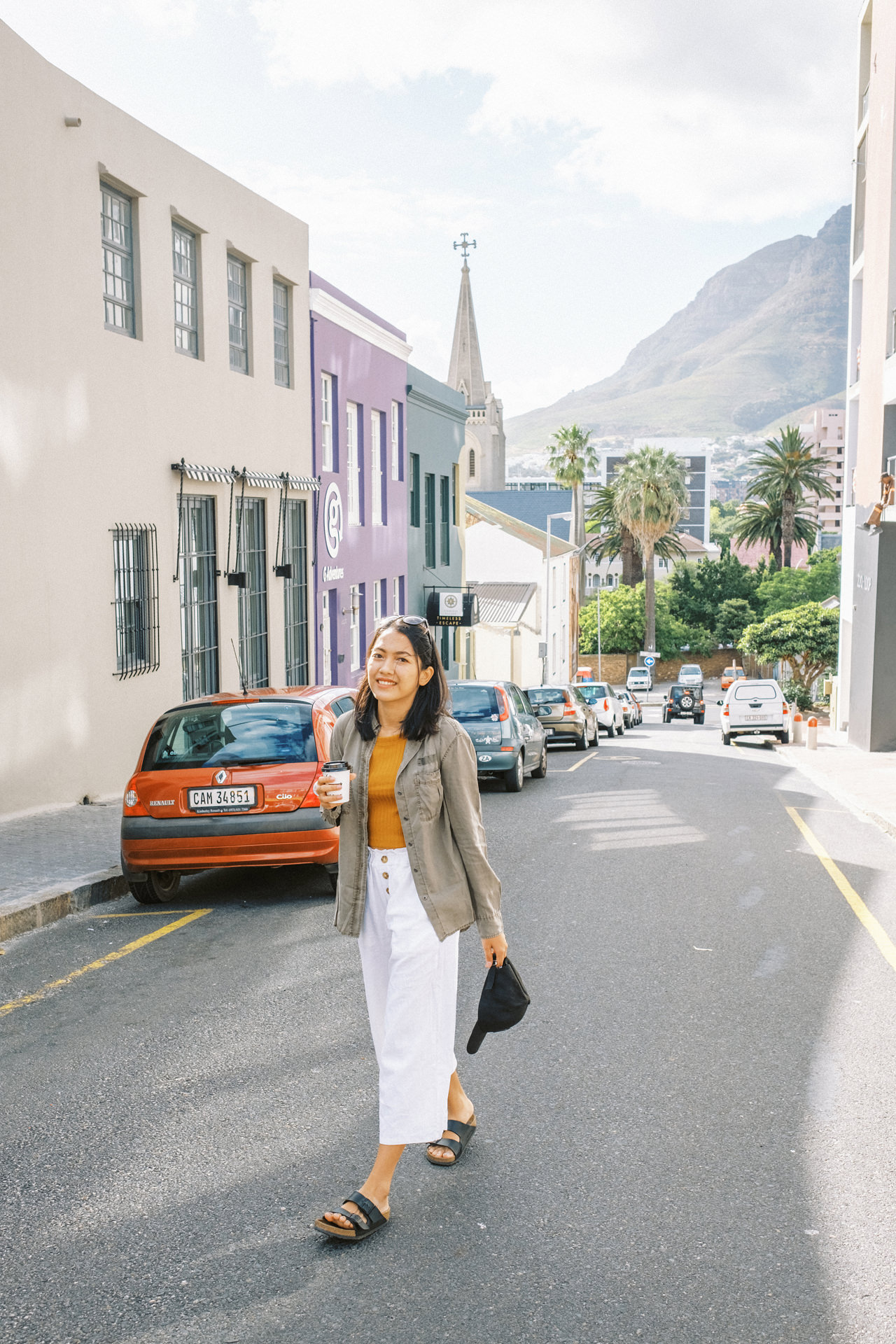
Crowned by the magnificent Table Mountain National Park down to the blue waters of Table Bay, Cape Town is simply stunning, but the city doesn’t thrive by its looks alone. Proudly multicultural, its flourishing arts, dining, and nightlife scenes are proof of this modern metropolis’ creativity and innovative spirit.
Located on the shore of Table Bay (3 hours & 30 minutes flight from Johannesburg), Cape Town, as the oldest urban area in South Africa, was developed by the United East India Company (VOC) as a supply station for Dutch ships sailing to East Africa, India, and the Far East. Jan van Riebeeck’s arrival on 6 April 1652 established VOC Cape Colony, the first permanent European settlement in South Africa. Cape Town outgrew its original purpose as the first European outpost at the Castle of Good Hope, becoming the economic and cultural hub of the Cape Colony. Until the Witwatersrand Gold Rush and the development of Johannesburg, Cape Town was the largest city in South Africa.
Table Mountain
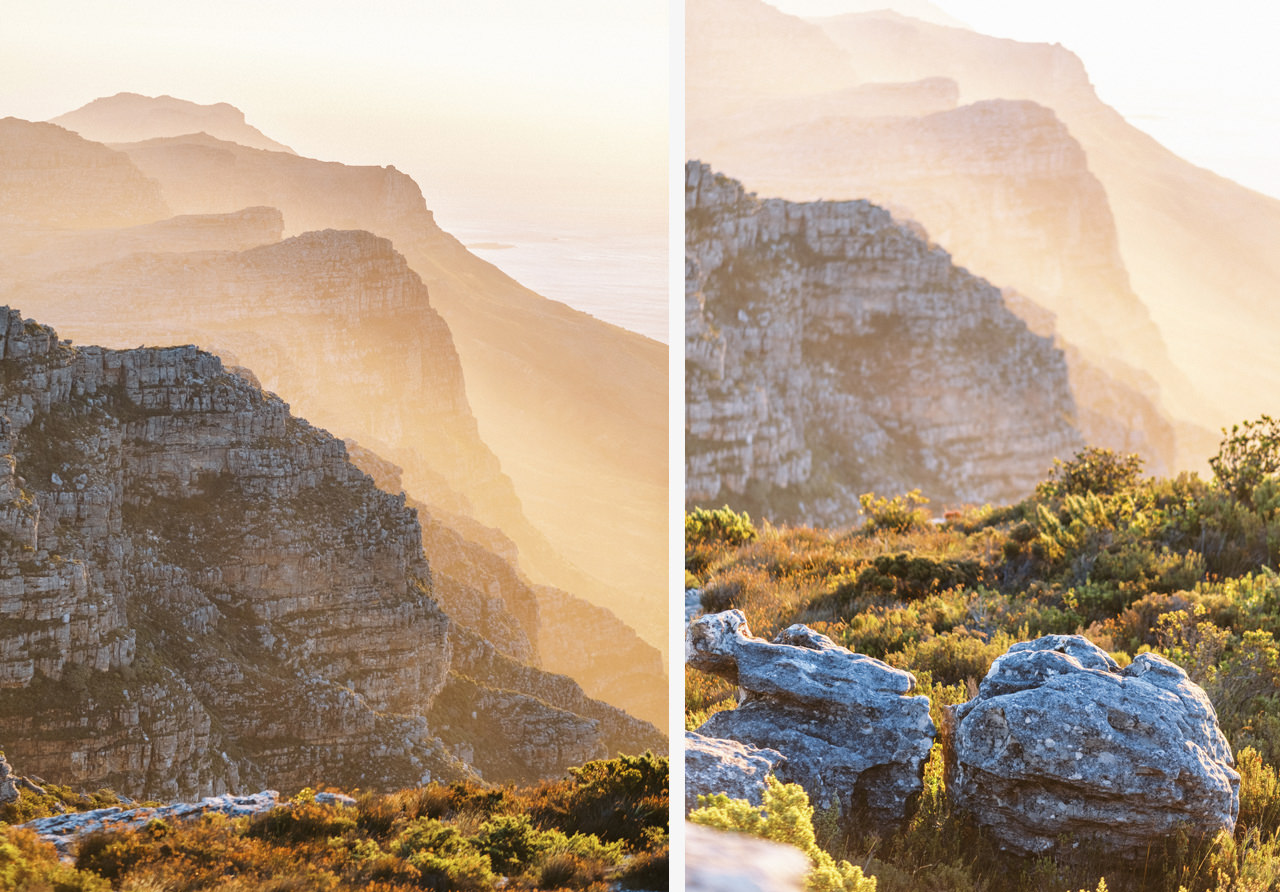
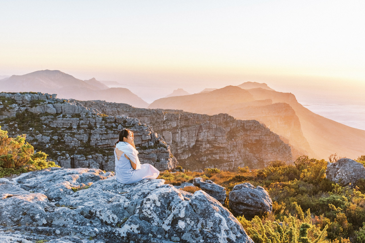
Around 600 million years old, and a canvas painted with the rich diversity of the Cape floral kingdom, Table Mountain is truly iconic. You can admire the showstopper of Table Mountain National Park and one of the ‘New 7 Wonders of Nature‘ from multiple angles, but you really can’t say you’ve visited Cape Town until you’ve stood on top of it.
Clifton Beach
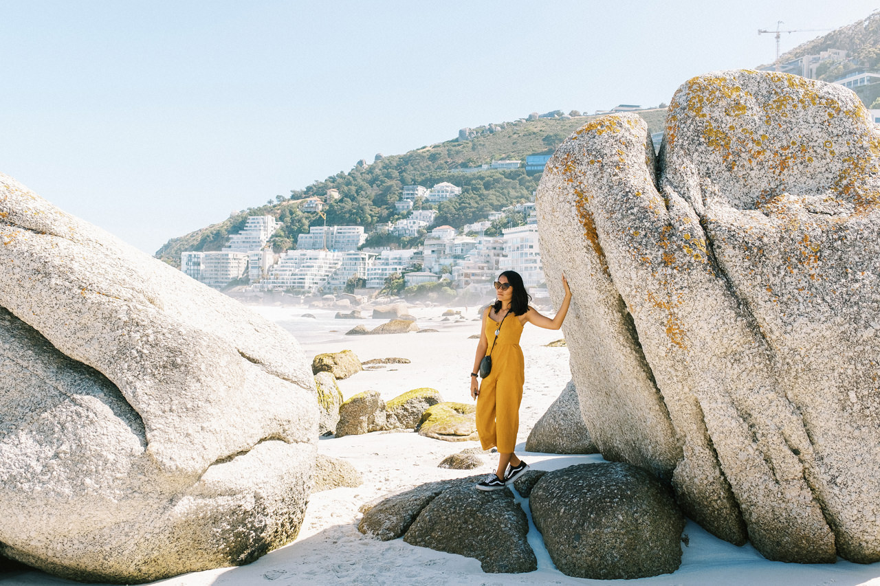
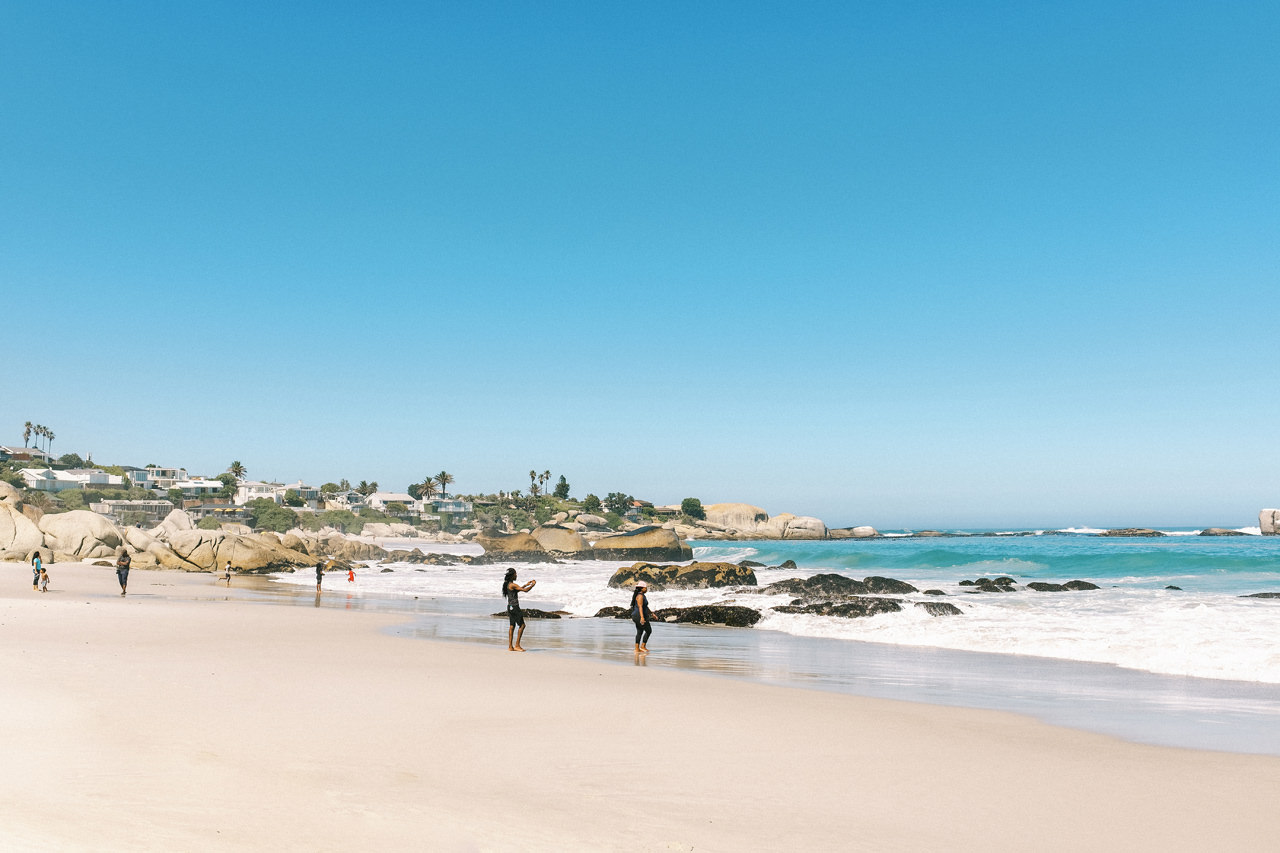
Clifton is an affluent suburb of Cape Town, South Africa. It is an exclusive residential area and is home to the most expensive real estate in South Africa, with dwellings nestled on cliffs that have sweeping views of the Atlantic Ocean. We stop by this beach on our way driving to Cape of the good hope.
Cape of the Good Hope
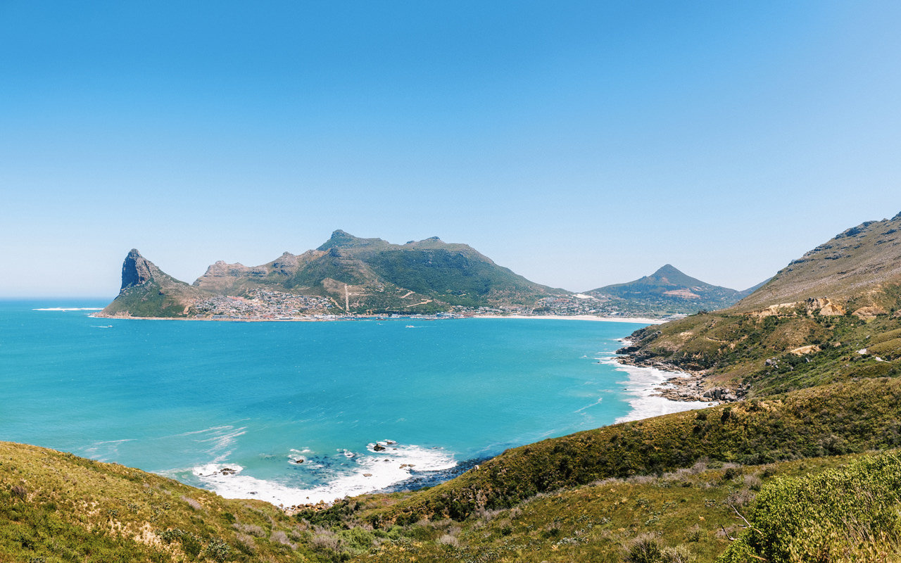
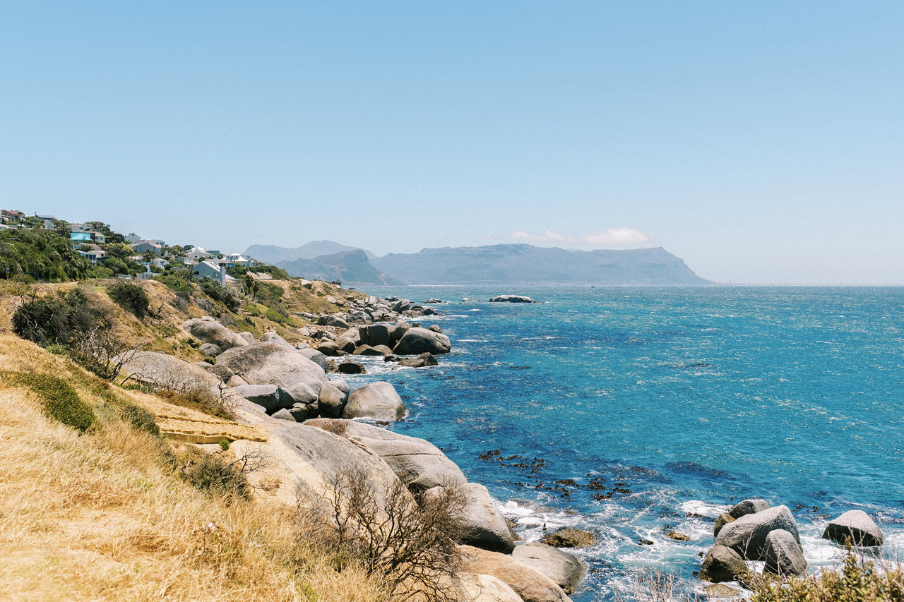
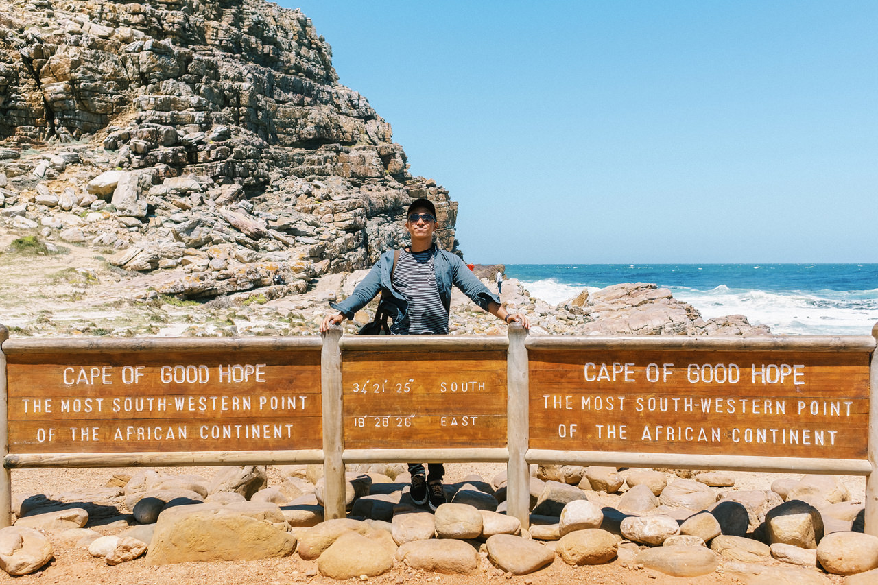
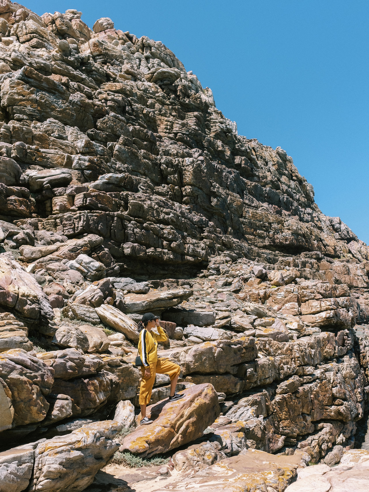
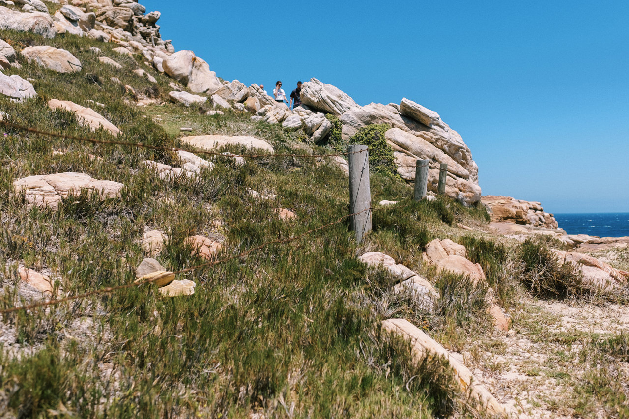
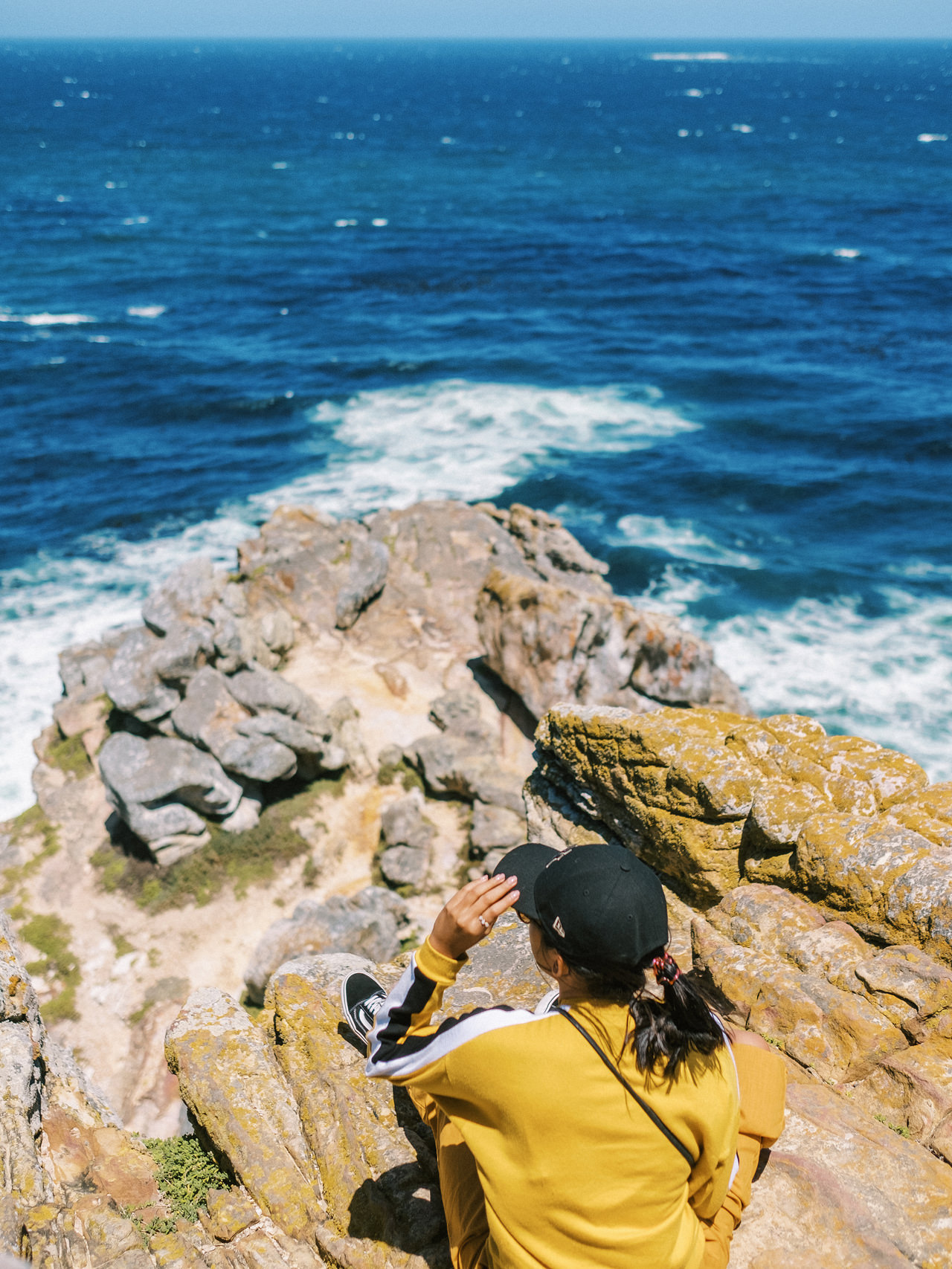
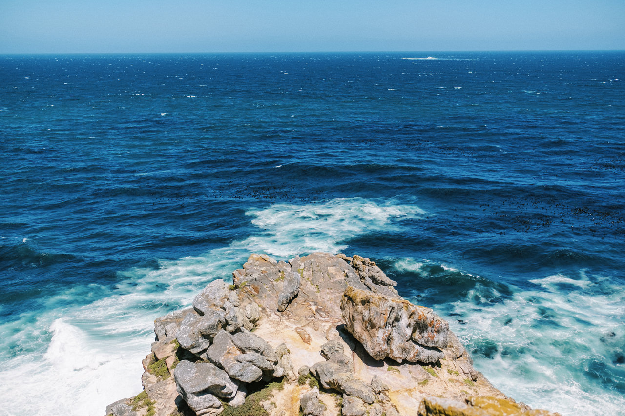
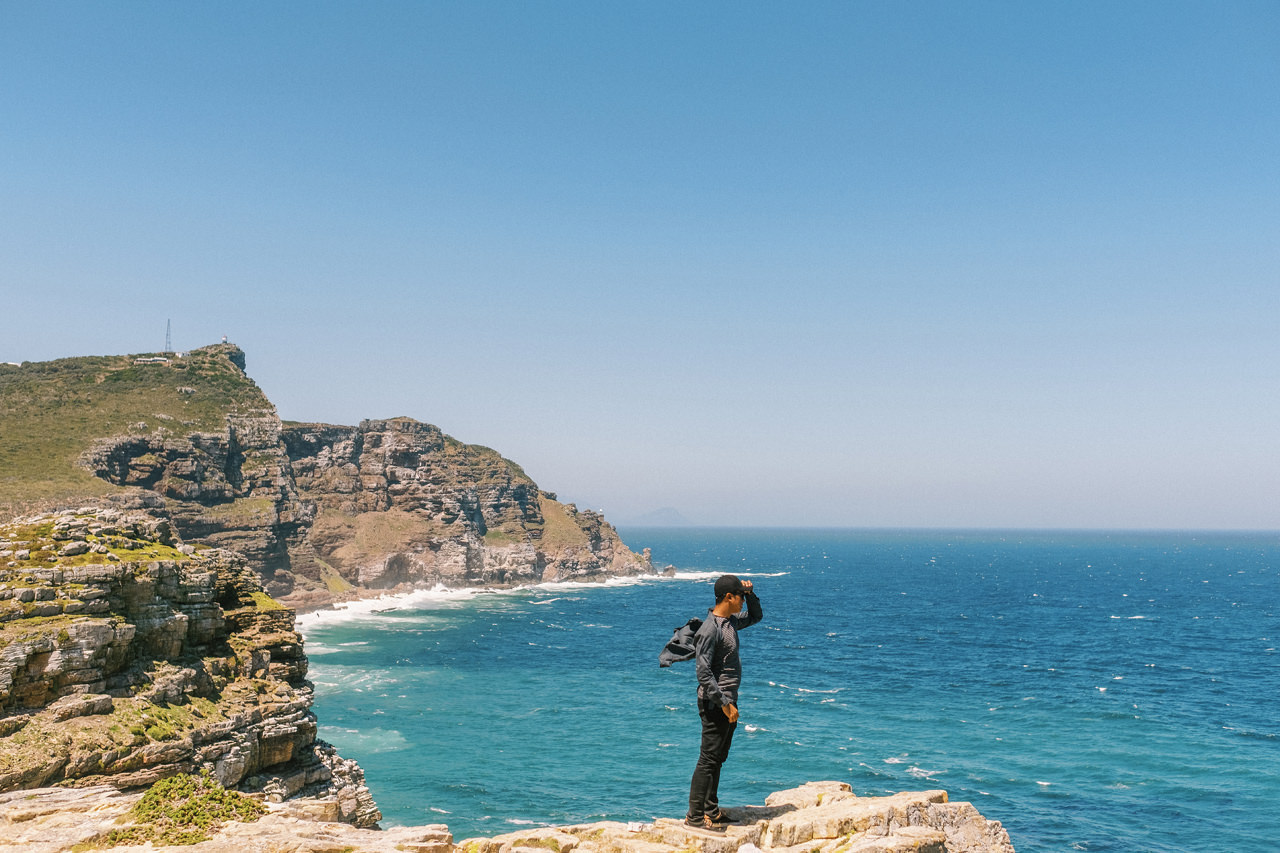
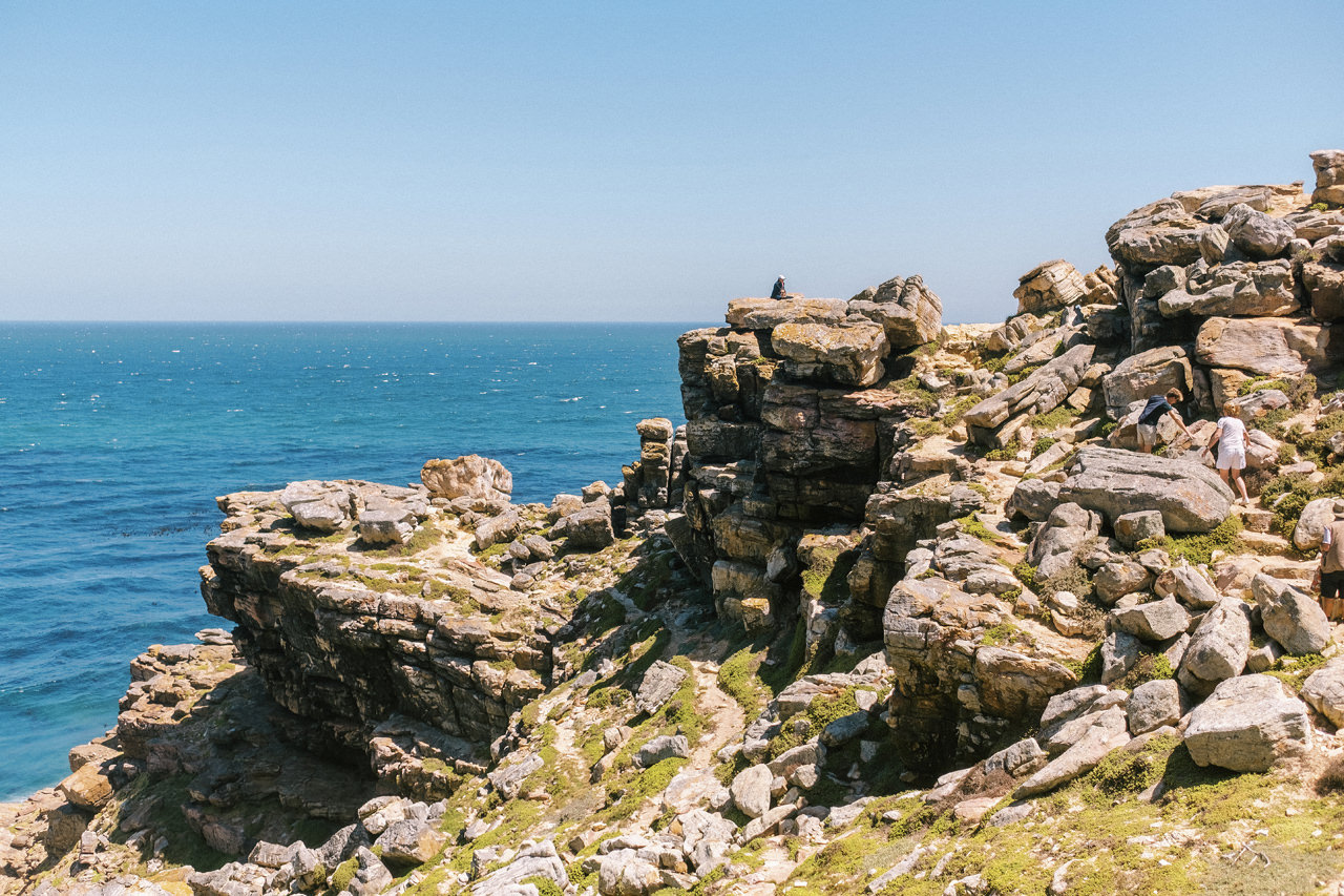
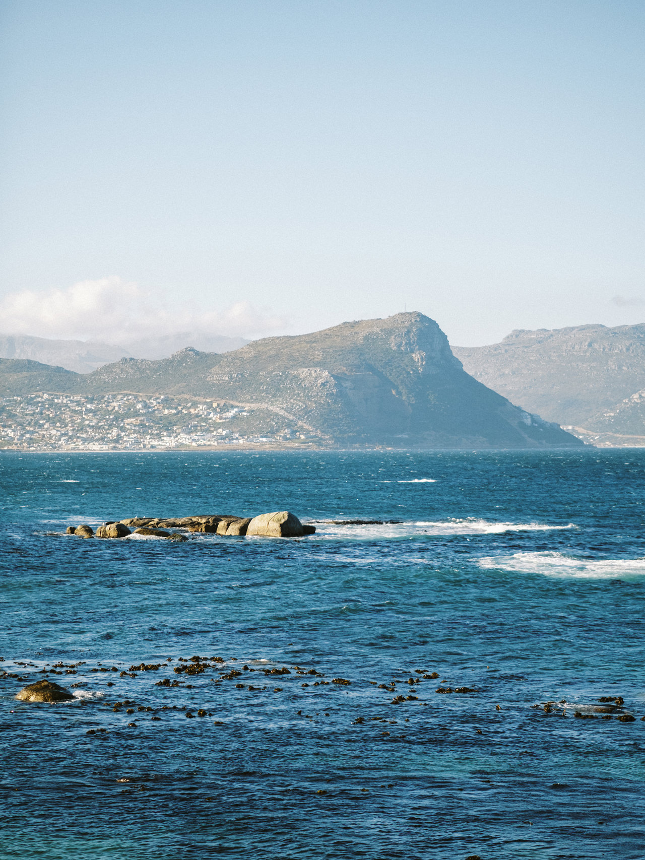
The Cape of Good Hope is at the southern tip of the Cape Peninsula, about 2.3 kilometres west and a little south of Cape Point on the south-east corner. Cape Town is about 50 kilometres to the north of the Cape, in Table Bay at the north end of the peninsula. The peninsula forms the western boundary of False Bay. Geologically, the rocks found at the two capes, and indeed over much of the peninsula, are part of the Cape Supergroup, and are formed of the same type of sandstones as Table Mountain itself. Both the Cape of Good Hope and Cape Point offer spectacular scenery; the whole of the southernmost portion of the Cape Peninsula is a wild, rugged, scenic and generally unspoiled national park.
Simons Town
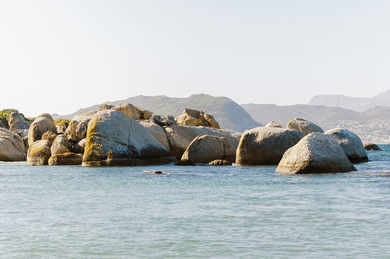
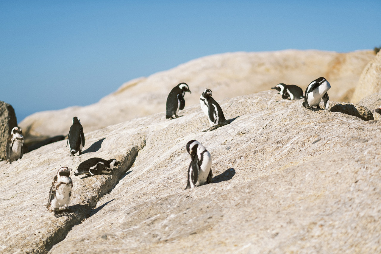
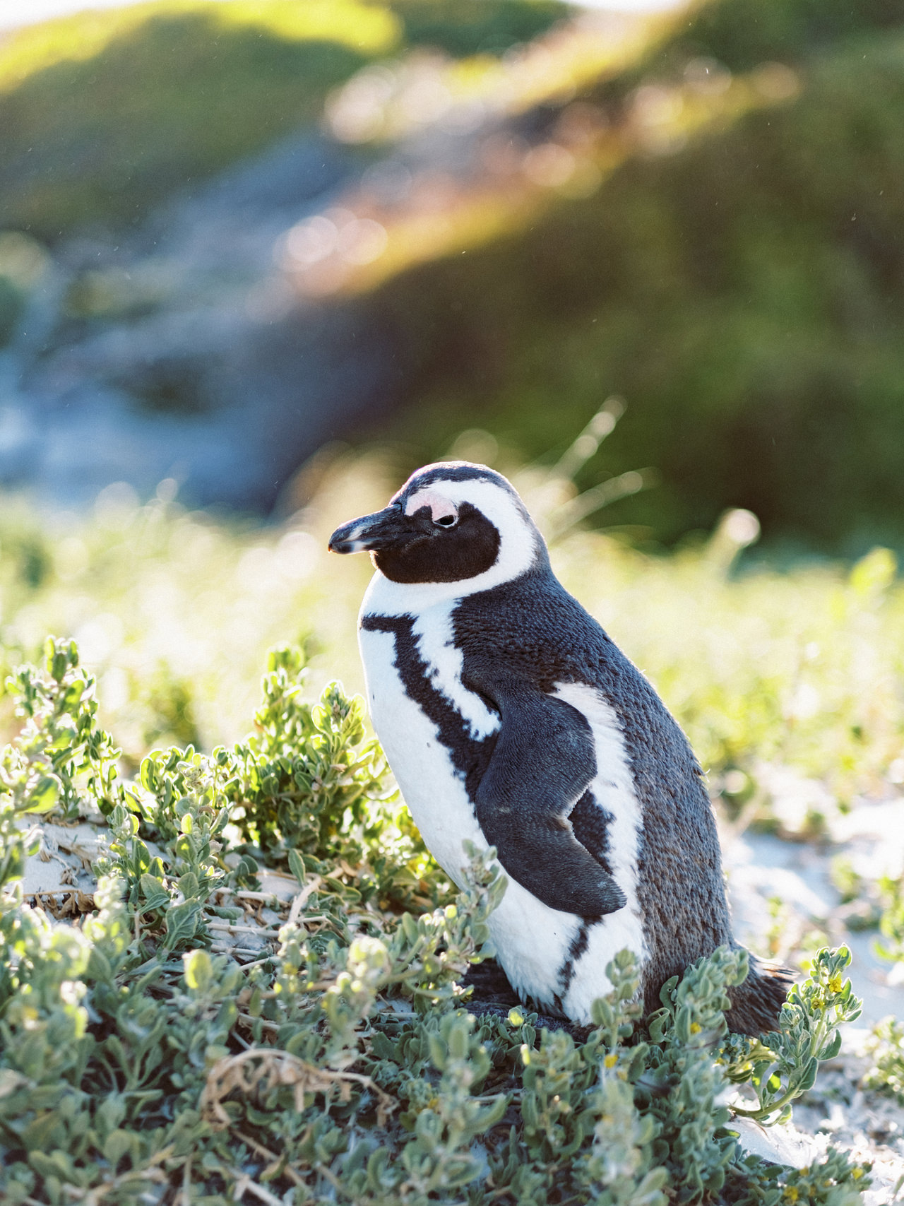
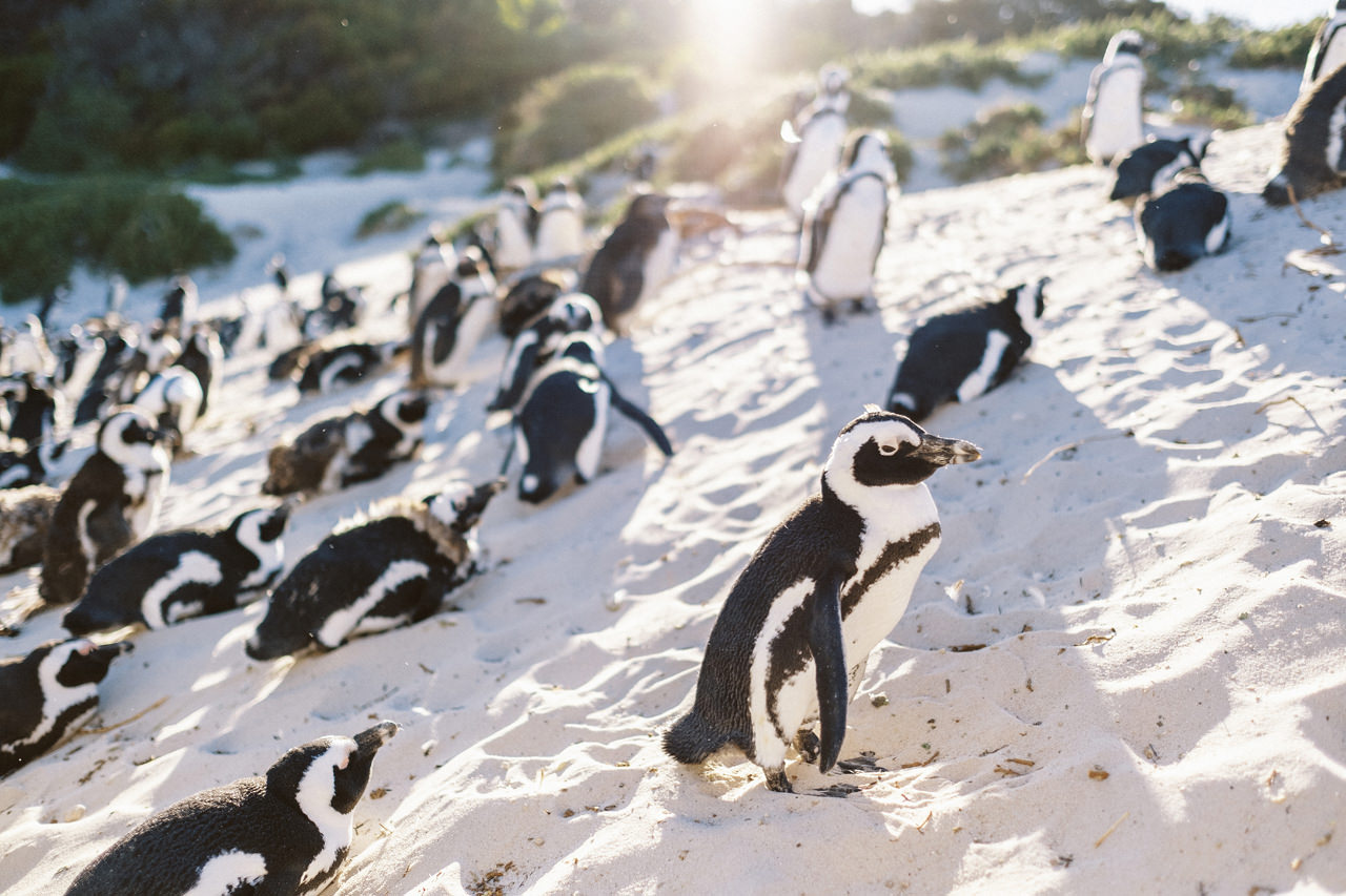
Boulders Beach in Simon’s Town has the distinction of being home to the sole species of penguin to inhabit this continent, the African Penguin. One of only three African mainland sites, the colony at Boulders is unique as it’s still possible to swim at some of the beaches these charming and comical creatures frequent.
We been searching to see this cute animal when we travel to Australia. And we cannot see any of them there, finally, our curiosity well paid when we saws hundreds of them playing around in the clean white sandy beach of Simon’s Town.
Babylonstoren
Babylonstoren is one of the oldest Cape Dutch farms. It has a fruit and vegetable garden of beauty and diversity, unique accommodation, fine food and wine, and evokes a sense of wellbeing. Why we are here? We have a Family photo session with one of our clients, who suppose to be our clients in Bali. But due to Mount Agung eruptions and travel restriction they have to cancel the travel. Long story short, we plan the session here in South Africa as we were there on the same time.
See the session blogs story here: Babylonstoren Cape Town Family Photography
Camps Bay
Upmarket Camps Bay draws crowds to its namesake beach, known for its fine white sand, natural rock swimming pool and views of the Twelve Apostles mountains. Behind the beach, posh seafood restaurants, mellow cafes and cocktail bars with patios overlook the promenade. Nearby, Promenade Mall has boutiques selling fashion and beachwear, while the intimate Theatre on the Bay stages drama, musicals and comedy. We spend the last sunset in this beach before we flew back to Bali the next morning.


